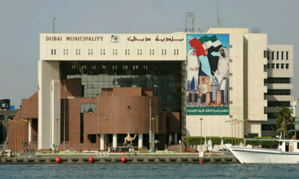
The Dubai Municipality has announced a new drone aerial-survey service designed for companies in the real estate sector.
The authority will use drones to provide real estate companies, consultants and contractors with detailed data, as well as high resolution orthophotos (aerial photographic maps) and topographic maps.
The organisation says that the use of drones will enable the service to produce maps that are 200 times more detailed than maps produced through conventional methods. The service will also be able produce contour maps and 3D points for large-scale projects, while requiring significantly less time than traditional surveys.
“It will definitely enhance the satisfaction of customers about the services provided by Dubai Municipality to various groups of society,” commented Dawood Al Hajiri, assistant director-general of Dubai Municipality’s Engineering and Planning Sector.
Al Hajiri also added that Dubai has been able to raise its global standing and enhance its internal infrastructure, thanks to the vision of Sheikh Mohammed bin Rashid Al Maktoum, the vice president and prime minister of the UAE and ruler of Dubai.
Along with the launch of the aerial survey service, the Dubai Municipality’s Survey Department also highlighted the design of its “Kharetati” (My map) application – a mobile app that allows customers to request access to land maps without having to personally visit the Dubai Municipality’s offices.

